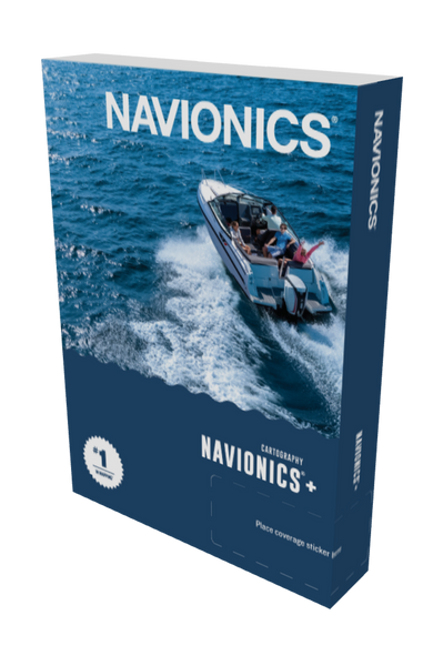
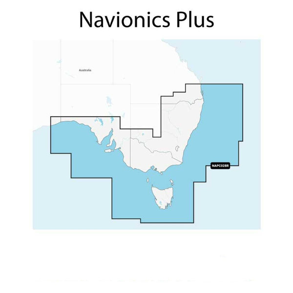
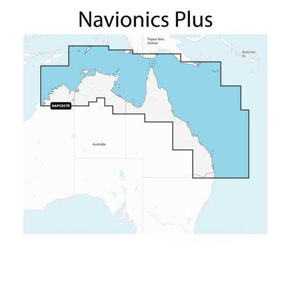
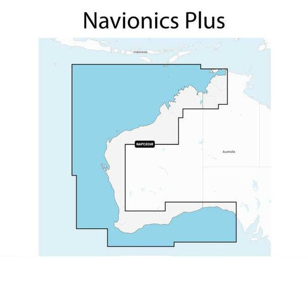
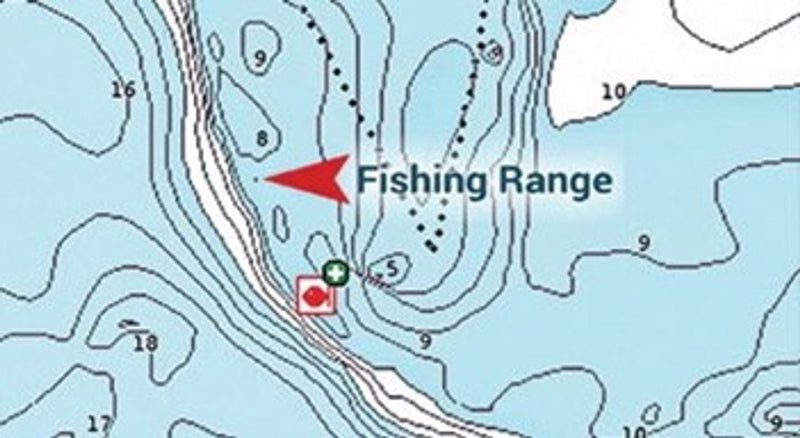
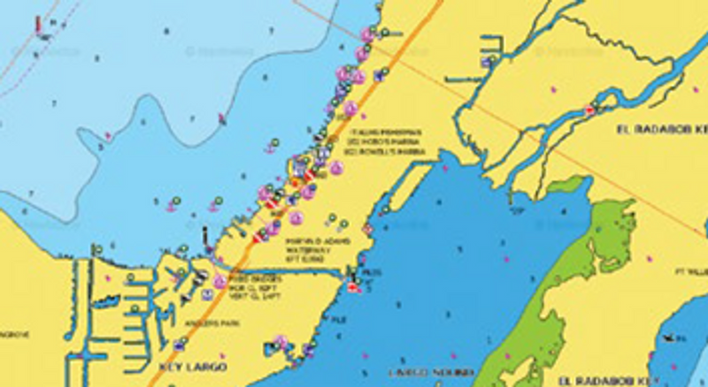
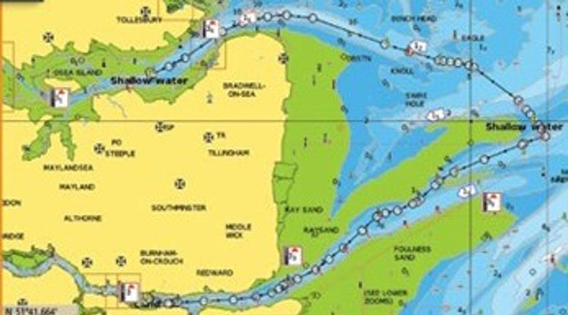
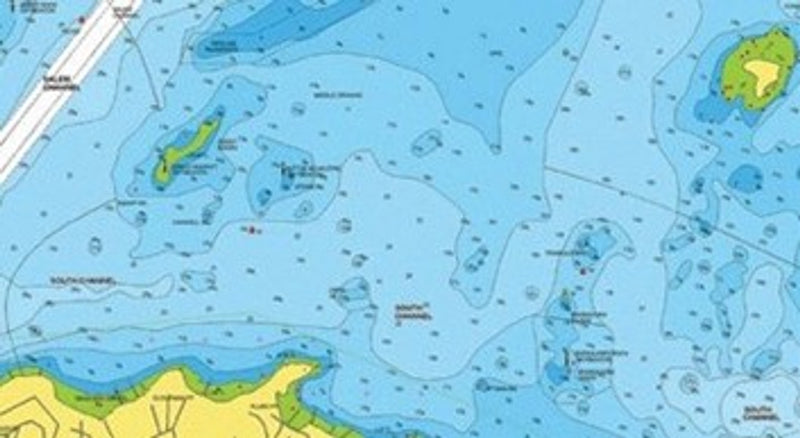
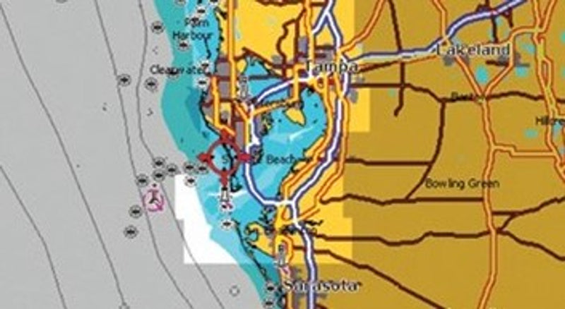
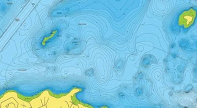
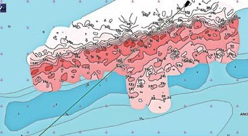
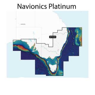
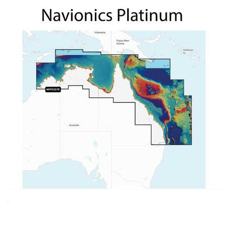
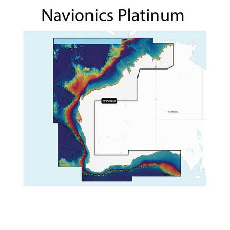
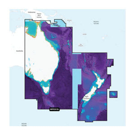
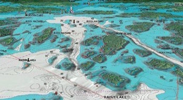
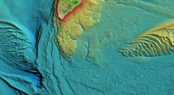
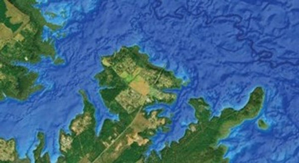
Navionics + Plus charts are the most common and provide essential cartographic reference detail for cruising, sailing and fishing: port plans, safety depth contours, marine services and navigation aids. The maps display up to 0.5 metre contours for a more detailed depiction of bottom structure. There are 3 charts that cover all of Australia so make sure you choose where you live and go boating. See all images for selection choices.
You might also like
X
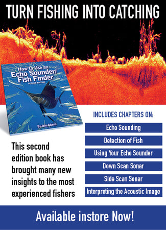
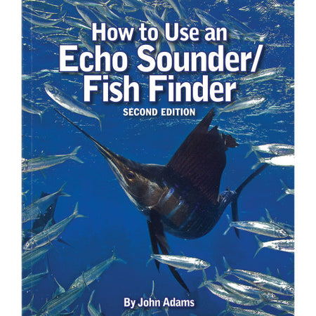
How To Use An Echo Sounder / Fish finder
$49.95
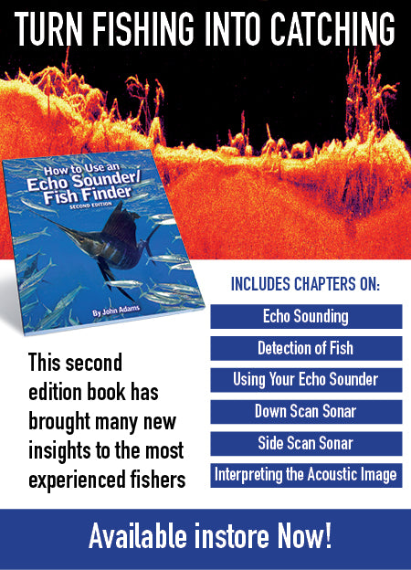
We don't normally advertise books but this is a good one and worth a read. This evidence based book explains how colour echo sounders work, how to operate them and how to interpret the information recorded on the display monitor. Packed full of over 130 images including screen captures, diagrams and full colour photos, this easy to read and understand book will help even the most experienced fisher gain more from their colour echo sounder/fish finder. John Adams comes from a seafaring family where all the men went to sea, serving on merchant ships, deep sea trawlers, or whalers.
Brand:
Furuno
SKU: FF
X
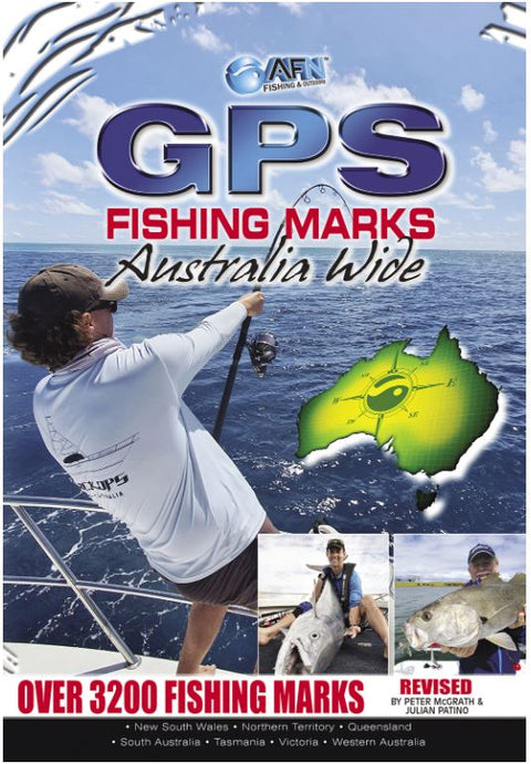
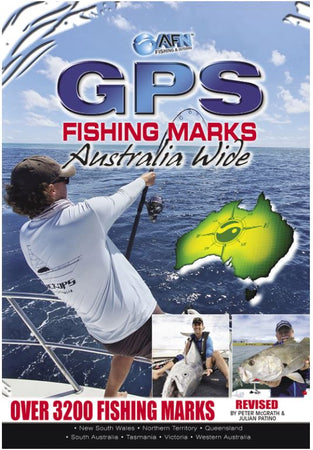
Over 3000 GPS Fishing Marks Australia Wide
$16.99
Over 3000 GPS marks around Australia (coast and offshore) plus how to use a GPS tips and tricks. GPS Fishing Marks Australia Wide is an invaluable companion to all anglers-it is the complete guide on how to understand, use and get the best from your GPS, then it tells you where to find the hottest fishing spots around Australia. Almost every angler who fishes on the water around Australia either uses a GPS (Global Positioning System) or wishes they did! However, many users find mastering their GPS difficult. Using these instructions the GPS enables anglers to determine their latitude and longitude out on the water as well as helping them to navigate a boat to a particular set of co-ordinates.
Brand:
Furuno
SKU: B3652
X
Navionics Platinum + Plus Charts - 4 coverage areas
$339.00
Navionics Platinum + Plus charts are designed with the most demanding boaters and serious anglers in mind, all the marine content of Navionics+ is enhanced with additional viewing options that take your boating experience to the next level. They have all the features of the Plus charts above plus RELIEF SHADING, SATELLITE IMAGERY WITH SONARCHART SHADING OVERLAY, SATELLITE IMAGERY WITH SONARCHART SHADING OVERLAY, 3-D VIEW and AERIAL PHOTOGRAPHY. There are 4 charts that cover all of Australia and New Zealand so make sure you choose where you live and go boating. See all images for selection choices.
Brand:
Lowrance
SKU: 010-C1361-40


